Disclaimer: This article has been automatically aggregated from
The saying that “all roads lead to Rome” may be famous, but a new study finds it’s far from true. Extensive new research of the Roman Empire’s road system reveals that several other Roman cities were better connected than the Eternal City was during antiquity.
Major cities like Antioch, Ancyra (modern-day Ankara) and Byzantium in what is now Turkey, as well as Corinth in Greece, were “better located than Rome” for those traveling by land, the team wrote in a paper published Tuesday (Sept. 15) in the journal Nature Communications.
At its height in A.D. 117, the Roman Empire covered almost 2.1 million square miles (5.5 million square kilometers) around the Mediterranean Sea, occupying much of Europe, the Middle East and North Africa, the team noted in the study.
Latest Videos FromLive Science
For years, the scientists have been creating a vast digital atlas called “Itiner-e” of nearly 186,000 miles (300,000 kilometers) of Roman roads. For the new study, they calculated how well Roman cities were connected to the road system.
In fact, the empire’s “most important intermediary route” by land identified in the study didn’t even run through Rome.
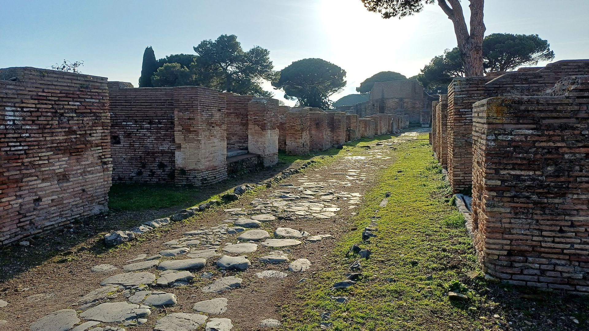
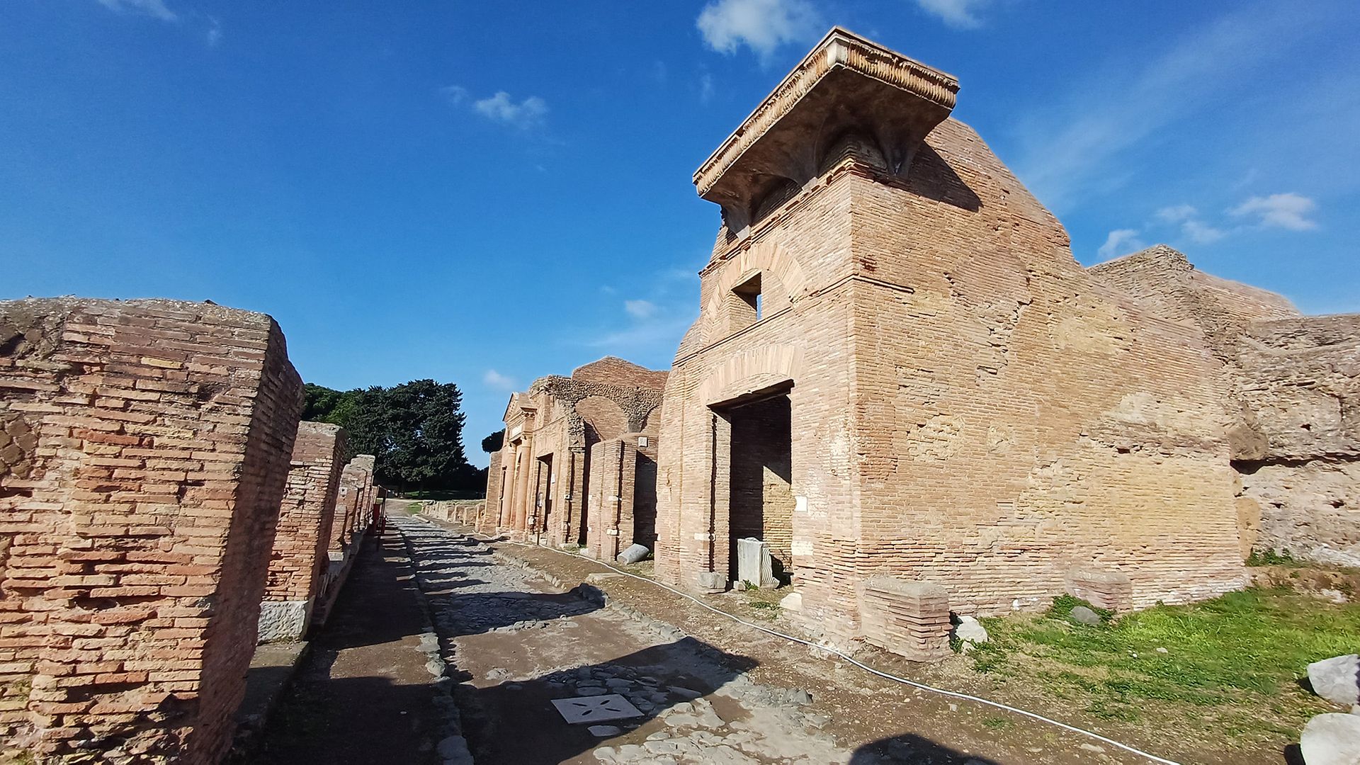
The ancient streets of Ostia, the seaport of Rome at the mouth of the Tiber River, are still visible today.
(Image credit: Tom Brughmans)
“It follows the North African and Levantine coast past Antioch and near Ankara, crosses over to Europe at Constantinople, and moves through the Po Valley and Milan into France,” study co-author Tom Brughmans, a professor of classical archaeology at Aarhus University in Denmark, told Live Science in an email.
The other well-connected cities had a bevy of reasons for their numerous roads. For instance, Corinth was better connected to the road network because the roads that ran through it linked the Greek Peloponnesian Peninsula to the rest of Greece, and Ancyra was better connected because it was a vital transportation hub for Anatolia.
Get the world’s most fascinating discoveries delivered straight to your inbox.
The Arch of Drusus in Rome is near the beginning of the Via Appia, an ancient and famous Roman road that is still in use today.
(Image credit: Tom Brughmans)
Rome’s unique location is likely the biggest reason why it wasn’t as well connected to the road system as these other cities.
Brughmans noted that the “Italian Peninsula is an appendix to the empire’s road network, and Rome is halfway down this appendix.” And when “we consider all movement within the entire Italian Peninsula, we were shocked to discover that the most central road actually follows the opposite Adriatic coastline, bypassing Rome altogether,” Brughmans added.
The study also found that when the shape of the land allowed it, Roman roads tended to be straight, but they were not as straight as modern-day roads.
Today, “modern road building avoids sharp turns and aims to build as straight roads as possible by strongly modifying the terrain to facilitate faster travel by car, which is made possible by modern surveying and construction methods,” the team wrote in their paper.
Sea and river connections
Although the new research sheds light on road connections, it’s important to remember that road travel wasn’t the only means of transport in the Roman Empire. In fact, the researchers noted that Rome may have had a more significant position for sea and river transportation than it had for road transportation.
Passersby can still walk on the city streets of the ancient port city Ostia.
(Image credit: Tom Brughmans)
Although the study didn’t look at waterways, Rome’s central location in the empire meant that it would have been an important hub of water transport, the team wrote in the study.
“Rome’s central location is not due to its roads, but its physical location in the centre of the Mediterranean, on the nexus of major shipping lanes,” Brughmans explained.
The team said future studies should examine sea and river transport and integrate their findings with the team’s Roman roads study. When considered together, road and waterway routes may help researchers better understand Roman transportation networks.
From Augustus to Nero, see how much you know about ancient Rome’s famous leaders with our Roman emperor quiz!
for informational purposes only. We do not claim ownership, accuracy, or liability for the content provided. All rights belong to the original publisher.
Contains information related to marketing campaigns of the user. These are shared with Google AdWords / Google Ads when the Google Ads and Google Analytics accounts are linked together.
90 days
__utma
ID used to identify users and sessions
2 years after last activity
__utmt
Used to monitor number of Google Analytics server requests
10 minutes
__utmb
Used to distinguish new sessions and visits. This cookie is set when the GA.js javascript library is loaded and there is no existing __utmb cookie. The cookie is updated every time data is sent to the Google Analytics server.
30 minutes after last activity
__utmc
Used only with old Urchin versions of Google Analytics and not with GA.js. Was used to distinguish between new sessions and visits at the end of a session.
End of session (browser)
__utmz
Contains information about the traffic source or campaign that directed user to the website. The cookie is set when the GA.js javascript is loaded and updated when data is sent to the Google Anaytics server
6 months after last activity
__utmv
Contains custom information set by the web developer via the _setCustomVar method in Google Analytics. This cookie is updated every time new data is sent to the Google Analytics server.
2 years after last activity
__utmx
Used to determine whether a user is included in an A / B or Multivariate test.
18 months
_ga
ID used to identify users
2 years
_gali
Used by Google Analytics to determine which links on a page are being clicked
30 seconds
_ga_
ID used to identify users
2 years
_gid
ID used to identify users for 24 hours after last activity
24 hours
_gat
Used to monitor number of Google Analytics server requests when using Google Tag Manager